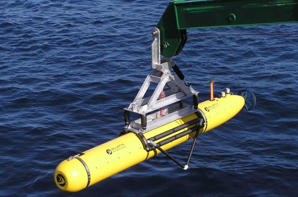
Drones of the deep
Jan 062016Drones are much in the news these days as prices fall and make the technology more and more accessible. Most of the interest is in the flying types of drones, but a recent GEOGRAPHICAL item discusses a different type of drone that has the potential to make new geographical knowledge available. As part of a growing interest in underwater drones, a start-up company called Hydroswarm is developing a robot to map the seafloor in greater detail.

The EVE robot is a pumpkin-shaped bot is made for searching the sea. Made up of one part steering mechanism and one part ultrasound sensor, the autonomous drone could be more useful than existing remotely-operated robots as ‘they are less complex, but smart in terms of sensing,’ according to Sampriti Bhattacharyya, mechanical engineer at Massachusetts Institute of Technology and EVE’s creator.
Still in its development stage, the drone can only dive 250 metres below the surface. However, Bhattacharyya has ambitions towards using this kind of technology to create a deeper ‘Google Maps’ of the sea. ‘The whole point of Hydroswarm is to provide a cheap and scalable method of mapping the ocean,’ she says. ‘EVE can be used as a single drone, or as a bunch of them working together to map large areas.’ Deployed en masse, the drones use algorithms to communicate with each other in a network. Plus, they don’t get lost. ‘They have a homing mechanism and are recovered at the end of their missions,’ she says.
Beyond Hydroswarm - hobbyists can examine other startups with their own versions of underwater drones. Fathom and OpenROV both have interesting technologies and approaches.

