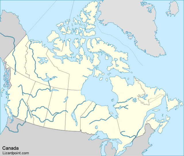
Canada: Seas, Lakes, Bays, Rivers

Click on an area on the map to answer the questions.

map of Canada
 
 
Question 1 of     | Score: 0 out of


Quiz mode:
practice question mark icon Practice mode
Three tries to answer. Help and hints in the answers available.
test question mark icon Test mode
Three tries to answer. No help map or hints in the answers available.
strict test question mark icon Strict test mode
One try to answer. No help map or hints in the answers available.


Hold your mouse over the question mark icon symbols above to learn about each quiz option.
Share:     find us on facebook

Tips   x  
The tips box and the important notes box are both draggable, should you need to move them

To zoom the screen, use:
Important notes   x  

  • Lake Michigan globe icon is entirely within the United States. It is included in this quiz because Canadian students typically must know all 5 great lakes.
  • Canada's top 5 longest rivers are: See Wiki: List of longest rivers of Canada new window icon for more information.

    globe icon indicates that the link will show the location on the map.
    Map credit   x   
    The Canada water and rivers map is a derivative map by Lyndsey McCollam of the Wiki File:Blank_map_of_Canada.svg new window icon in this quiz is a derivative work by wiki user:Riba and is a derivative work of Wiki File: Canada_(geolocalisation).svg new window icon, by wiki user: STyx.

    This file is licensed under the Creative Commons Attribution-Share Alike 3.0 Unported new window icon license.

    To use this image, you must attribute it to the original creator and all derivative authors and include a copy of the Creative Commons Attribution-Share Alike 3.0 Unported license, including a link to lizardpoint.com as part of the attribution to Lyndsey McCollam.
    new window icon indicates that the link will open in a new window or tab.