map of India

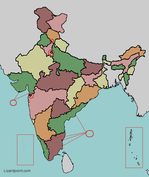
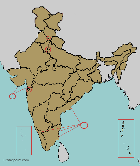
Small, hard to click regions are enhanced with a red circle, as shown below:

example of red circled area
 

India: states and union territories quiz

 
Question 1 of     | Score: 0 out of


Quiz mode: practice question mark icon Practice mode
Three tries to answer. Help and hints in the answers available.
test question mark icon Test mode
Three tries to answer. No help map or hints in the answers available.
strict test question mark icon Strict test mode
One try to answer. No help map or hints in the answers available.


use single colored map question mark icon Change map colors
Choose the single color map to increase the difficulty. Uncheck the box to go back to the multi-color map.


Hold your mouse over the question mark icon symbols above to learn about each quiz option.


Share:     find us on facebook
Tips   x  
The tips box and the important notes box are both draggable, should you need to move them

To zoom the screen, use:
Important notes   x  
India has 28 states and 8 union territories. The 8 union territorries are:
  • Telangana globe icon became a state on 2 June 2014, when it was split from Andhra Pradesh globe icon.
  • Jammu and Kashmir globe icon was changed from a state to a union territory on October 31, 2019, and also was split in half, forming another union territory, Ladakh globe icon.

  • globe icon indicates that the link will show the location on the map.